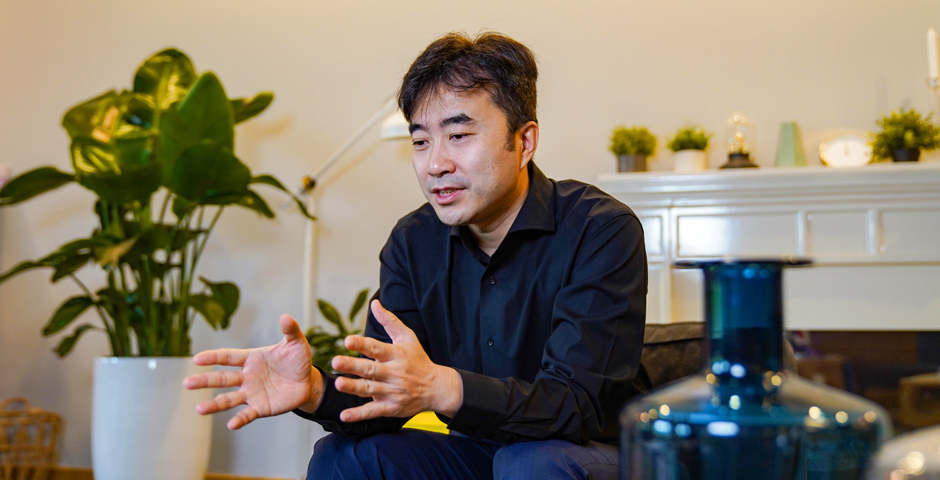
Over the course of his career, Assistant Professor of Urban Science and Policy Guan ChengHe has worked as a licensed architect, an urban planner, a real estate developer, and a contractor based in Japan, the Bahamas, United States, and the United Kingdom. But as he turned 40, Guan, who was born in Tianjin, decided to make a change.
After seeing one too many grand architectural projects fail to become a reality for reasons completely unrelated to design and architecture, Guan decided he wanted a career much closer to the work itself - and enrolled in a doctoral program at the Harvard Graduate School of Design. “Sometimes you need a longer time to find out what your true passion is,” says Guan, who since arriving at NYU Shanghai in 2018, has been leading several projects to analyze big data from cities and understand how those cities might be better re-designed from a spatial perspective.
With colleagues at the cross-disciplinary Center for Data Science and Artificial Intelligence, Guan is using mobile phone and social media data to analyze urban systems and infrastructure. Shanghai, he says, is the best place in China, if not the world, for his work. “Shanghai plays a leading role in both urban policy and urban management. It also creates an urban network which connects small and big cities,” he says.
Not long after NYU Shanghai re-opened this spring following the COVID-19 crisis, the Gazette sat with Guan in the park in front of the Academic Building to discuss his work and career.
How will the COVID-19 crisis affect urban studies and urban policy?
Controlling and preventing the further spread of COVID-19 is very tied to urban planning and urban studies, since the highest transmission rates, not surprisingly, have taken place in densely-populated big cities. So many people are now coming to me for information about how cities should respond to pandemics - it’s made my field hot again! I think there are three very important factors about China’s urbanization to keep in mind. One is gated communities. Should we open up the gated community or should we implement more stringent policies to enclose the communities? The second is urban green space. How can we redesign urban green space - the “lungs” of a city - to be better utilized in special situations like COVID-19? The third part is regional urbanization. In the past, we have been focusing on the efficacy of urban systems, such as building high-speed rail in transportation and developing gated communities in land use. But today maybe we should look at the city in a different way. We should think about urban health, we should think about urban ecology, and we should think about the happiness of people who reside in the city.
Why is big data so important to urban studies? When and how did you first start working with big data?
Big data provides us an additional perspective to observe, analyze, and simulate our cities. The complex structure of the data framework reveals new findings, induces innovative methods, and creates new knowledge. For example, during the COVID-19, policymakers could use social media data to track people’s everyday sentiment as the pandemic evolved, which helped them find a balance between economics and public health.
I started working with big data about a decade ago without knowing that I was dealing with “big” data. But the computational power was much slower back then and the machine learning methods were not yet popular in the field of urban studies, few people used artificial intelligence in sophisticated ways to conduct urban research. Then I met people at Harvard who inspired me to continue the path of the big data application in urban studies.
For the introductory level class, Urbanization in China, I want students to have a firm understanding of what urban studies is, what urban science is and how to think about urban research in relation to their own concentration, because it doesn't matter if they're from business, data science, computer science -- it's all urban-related.
For the intermediate level class, Planning Global Cities, I try to push students a little further, to not only use but have a better understanding of interpreting spatial data. In the higher level class, I encourage students to understand the whole story - from data acquisition, data fusion, data processing, data analysis, and then policy intervention based on data-informed results.
I want them all to have a global perspective rooted in China. The students right now taking my class, when they graduate and when they take important positions in the future, maybe 15 years down the road, they will have knowledge of urban big data and the skills to interpret it when they make decisions. This is not something that can make a visible impact right away. My colleagues and I can publish academic papers, but the impact will be felt when this generation of students uses this knowledge to actually make decisions.
It’s about shaping the next generation of urban planners and thinkers so that wherever they're working from, they can have a broader perspective that opens them up to how they think about city planning.
Can you tell us how the city of Shanghai is incorporated into your research and teaching?
Actually, the first two Deans' Undergraduate Research Fund (DURF) projects I supervised were both Shanghai-focused. One group focused on public toilets and whether their locations met demand while another focused on the growth of Shanghai greenspace. They found that the increase in greenspace peaked around 2000-10, at the same time new land-use regulations were put into place. The data the students collected has been incorporated into the Urban Research Data Library that we have at NYU Shanghai and is accessible to other students who are interested in conducting other related DURF projects, research projects or even coursework.
I’m working with colleagues on the Zaanheh Project, an interdisciplinary effort to understand Shanghai’s natural history and urban ecology. We’re collecting data of people’s attitudes towards different green spaces in Shanghai.
I also have three different smaller projects going on. The first one is a collaboration with the University of Tokyo which studied urban park surface areas. In the second, we are working with the University of Oxford to try to understand the seasonal variations in mobile phone data use. In the third project, we plan to organize a special issue for the Journal of Travel Behaviour and Society, that will hopefully be a collaboration with us and the International Association of China Planning. I’m working with a few students to study the impact of COVID-19 using social media data. We use NYU Shanghai Urban Studies Discussion Group as a platform to collaborate with scholars from around the globe.
What do you like to do when you’re not thinking about big data and cities?
I like to hike and run marathons. Both these hobbies have also helped enrich my understanding of my work, too! Running through different neighborhoods in different cities and continents has given me a different perspective on urban life, while hiking through different terrains helps me to understand the impact of urbanization on the environment and the earth.
This interview has been edited for clarity and length.
--
See more faculty spotlights on Dean Maria E. Montoya, Professor Pierre Tarrès, Professor Teng Lu, Professor Guo Siyao, and Professor Zhao Lu